The UH Coastal Center supports environmental research and education on the Texas coast by providing UH and collaborating researchers access to field sites, equipment, and facilities. Scientific activities include studies of grassland ecology, wetland ecology, invasive species, micrometeorology, air quality, climate change, land subsidence, and geophysics.
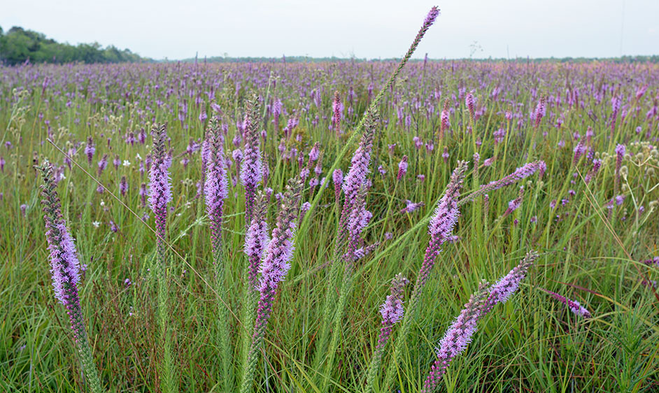 Dr. Kerri Crawford’s (UH) group is testing how microbes in the soil influence prairie communities. Some of the research questions being tackled by her lab include: How will climate change alter plant-microbe interactions and plant community structure? How do soil microbes influence plant chemical signaling? How do multiple disturbances affect the structure of the soil microbial community? You can read more about this research on the lab’s website.
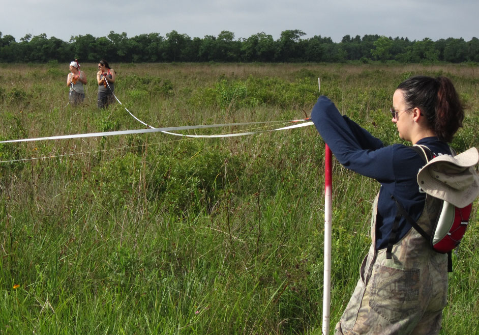 Dr. Steven Pennings (UH) is collaborating with Dr. Chelse Prather (University of Dayton) to study the role of micronutrients in controlling variation in the plant and herbivore communities in prairie landscapes. Read more about Dr. Prather’s research at her lab website. In addition, Dr. Angela Laws (now at the Xerxes Society), Dr. Prather, and Dr. Pennings have investigated the effects of grasshopper species richness, feeding guild (grass feeder, mixed feeder, omnivore), and species identity on the prairie plant community.
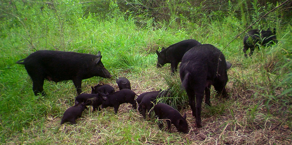 Dr. Ann Cheek (UH) is using trail cameras to document wildlife at the UHCC and a variety of other stations around the Houston metropolitan area.
Dr. Evan Siemann (Rice University) and collaborators in China are using the UHCC to understand the mechanisms promoting rapid spread of invasive Chinese tallow in the United States, the consequences of tallow invasion into coastal prairies, and possible methods to restore sites invaded by tallow. Read more about the Dr. Siemann’s research.
 Dr. Steven Pennings (UH) collaborated with Dr. Arturo Leon (Florida International University) to study the effects of drought on freshwater wetland communities.
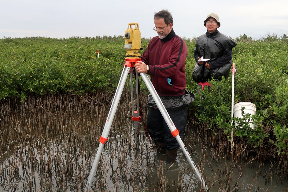 Dr. Steven Pennings (UH) is collaborating with Dr. Anna Armitage (Texas A&M Galveston) and Dr. John Kominoski (Florida International University) to study the spread of mangroves on the Texas Coast and the consequences that this will have for coastal ecological services.
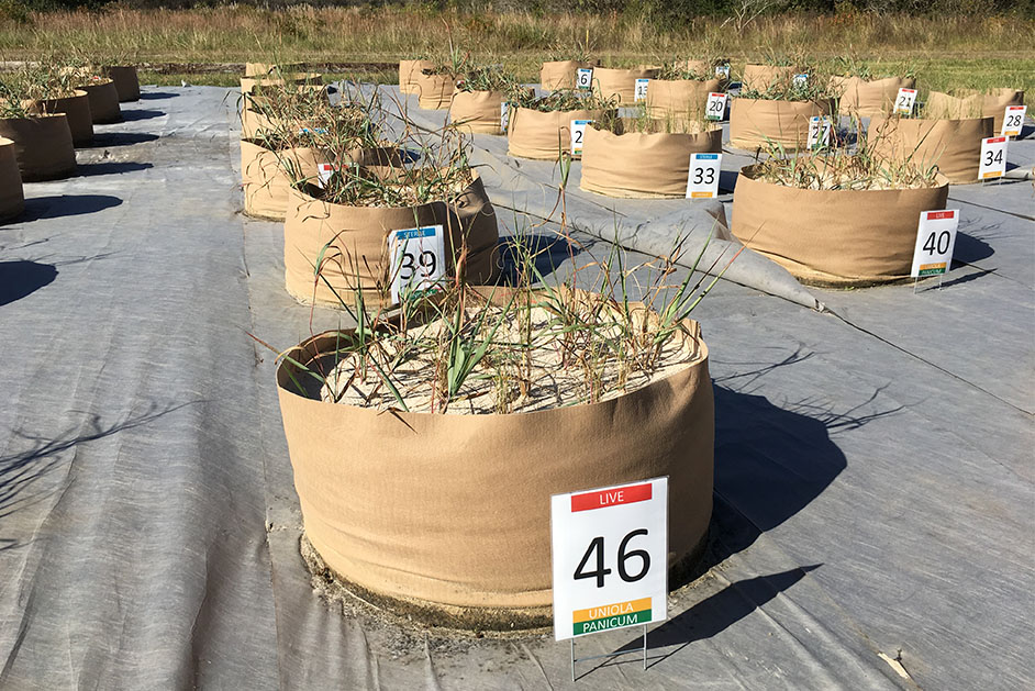 Dr. Kerri Crawford (UH) is testing techniques to optimize sand dune restoration along the Texas Gulf Coast. In particular, she is testing whether the addition of native soil microbes help “jump start” restoration by speeding up plant colonization and soil development. Read more about this research.
 Multiple projects led by the UH Department of Earth & Atmospheric Sciences use the micrometeorology tower, sonar, and other instrumentation at the UHCC to conduct research and monitoring in micrometeorology and air quality in the Houston metropolitan area. When winds are from the southeast, instrumentation at the UHCC captures data on clean, “background” air transported from the Gulf of Mexico to the city. During a frontal passage and/or northerly winds, the UHCC is a downwind site. When the region is experiencing stagnant wind conditions that often result in high-pollution events, the UHCC is an excellent site to capture the transport of emissions from Houston in the early morning as the land breeze carries these urban and industrial pollutants out to the Gulf of Mexico.
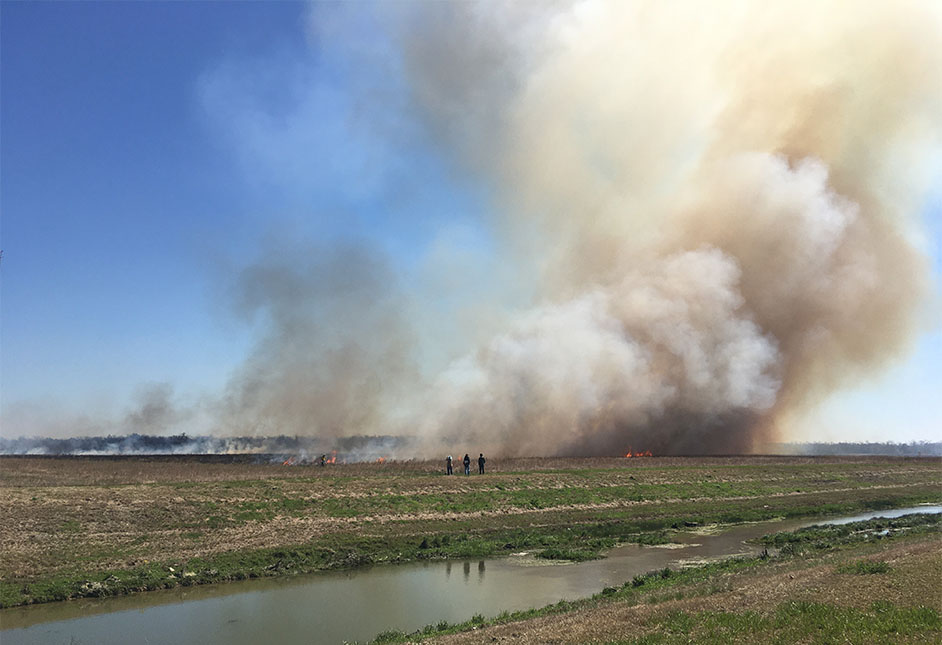 UHCC grasslands are burned periodically to manage invasive species. The main prairie at the UHCC was burned in January 2013 as part of an NSF-funded research project led by Dr. Craig Clements (San Jose State University). The goal is to better understand wild land fire behavior by studying fire-atmospheric interactions. Read more about Craig Clement’s research on his homepage.
 Dr. Bob Wang (UH) monitors the movement of four permanent real-time GPS stations at the UHCC. These GPS stations, part of a more comprehensive network installed throughout the Houston metropolitan area, are improving our understanding of land subsidence in the region. This could mitigate damage caused by slow-moving natural hazards, such as the breaking of underground water and oil lines or structural damage to the foundation of buildings and bridges, and lead to considerable economic savings. A weather station and a pair of wells are located adjacent to the GPS stations because variation in weather and groundwater may help explain subsidence. Dr. Wang’s equipment at the UHCC is used not only for research, but also for education of graduate and undergraduate students. Data from the GPS network, called “HoustonNet,” is available on the UNAVCO website. Subsidence data from the four UHCC stations can be obtained by selecting “UHC0, UHC1, UHC2 or UHC3.”
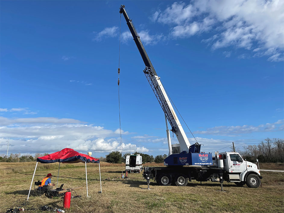
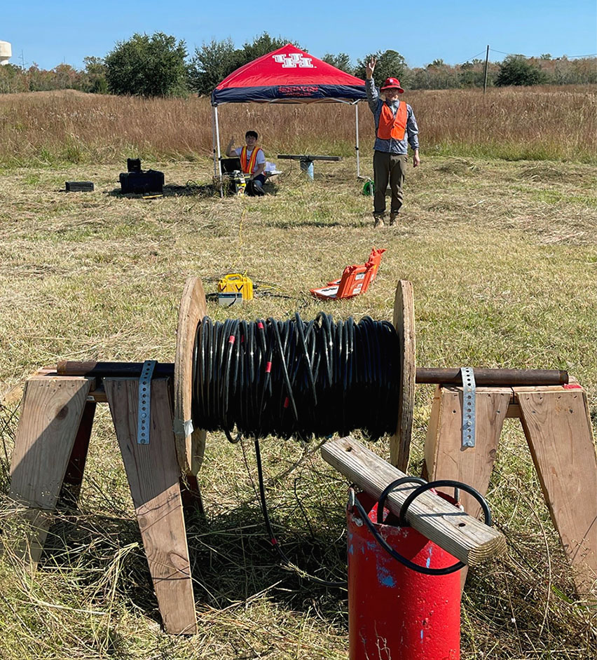
Dr. Robert Stewart (UH), director of the Allied Geophysical Laboratories at UH, has drilled two, 430-foot wells at the UHCC. The wells are lined with PVC, cemented, and are used for undergraduate and graduate research and education in the UH Department of Earth & Atmospheric Sciences. Well logging and seismic exploration courses use the wells and site. The geophysics group has also conducted non-invasive seismic and ground-penetrating radar surveys at the Coastal Center. Several industrial objects (steel drums, plastic containers) are buried near the wells to be used as targets for environmental remediation surveys.

Thanks to the support of coastal prairie enthusiast Beth Robertson, the University of Houston Coastal Center was able to accept a proposal by Resource Environmental Solutions (RES) to undertake a soil carbon baseline study at its facility at La Marque in Galveston County. Soil cores and vegetation surveys were performed at 77 sampling sites at the 925-acre UHCC facility, with the undisturbed soils of the central Aumann Prairie serving as the reference prairie. The study also included following the same sampling protocols at 15 sites at the Lawther-Deer Park Prairie in Harris County as a comparison prairie. Report and Data >